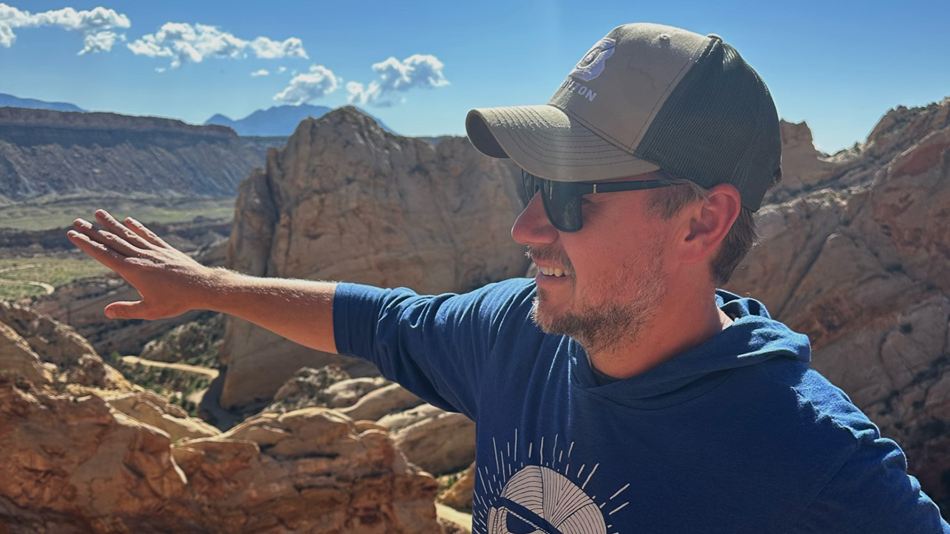
“This is one of the reasons you become a geologist if you grew up in the 1980s,” Dr. Matthew McKay said as he displays a video of him standing atop Mt. St. Helens.
McKay, associate professor of geology at Missouri State University, mixes old school techniques of mapping and “disappearing into the woods” with the latest technology. It’s a passion, but there’s also important work to be done.
Much of McKay’s work searches for understanding of how and why mountains form, and how long it takes so he can build timelines for those sequences.
His research team, which includes undergraduate and graduate students, also identifies the environmental effects of creating these mountains.
This involves sediment testing, identifying the isotope geochemistry of rocks and radioisotope dating of sand grains. These techniques reveal more about the age and composition of dirt, rocks and sand.
“The trick is, if you take hundreds of samples of individual sand grains and age them, then you can figure out where they potentially came from,” McKay said. “Find a bunch of 50-million-year-old sand grains? Find a rock that’s 50 million years old somewhere in the mountains. Then you can connect them or make tectonic interpretations.”
Affecting industry
Oil and mining companies have deep interest in – and deep pockets for – uncovering this type of geological timing.
“Erosion always wins, so the Rockies will be sad little mountains eventually.”
Why? Tectonic movements disrupt the ground where valuable natural resources exist. Knowing when these movements happened can determine whether oil is where these companies expect it to be.
“The timing might determine whether the oil shifted left or right or if oil is even in the ground anymore. If the timing is not right, then the oil might have migrated up and been lost to the surface,” McKay said.
The information also is priceless for environmental protection, engineering and agriculture.
“If you’re chunking sediment into river systems, that messes up your dams, which may prevent sediment from moving down the river where it’s needed,” he said. “Maybe a fault line means the groundwater can’t move properly, and it’s now contaminated with any number of things.”
McKay’s team also specializes in making geologic maps. The maps are used by many groups, including:
- Environmental agencies when spills occur.
- Exploration companies to locate geologic resources.
- Engineering teams when building new infrastructure.
Movement is the foundation
A recent finding surfaced regarding the southern Appalachian Mountains in Alabama. There, 420-million-year-old sand grains were discovered. But nearby rocks – and even faraway rocks – weren’t matching up in age or composition.
Previous geologists had erroneously linked the sand to rocks in Maine, but that wasn’t lining up for McKay. The more that he and his team worked in this area, the harder it was to reconcile their findings with statements from previous studies.
After collecting samples from across the southern United States and discovering large fossil logs, they determined the area must have been a barrier island at one point. However, using high precision dating techniques, they still didn’t find a match.
Then, McKay’s team considered what the area used to look like. For instance, the Yucatan Peninsula previously sidled alongside the southern U.S. coastline. Now it’s in Mexico.
“The foundation of the science of tectonics is that things move,” McKay said. “It took us a minute to realize it, but the 420-million-year-old rocks aren’t in the U.S. anymore. They’re in Mexico now.”
McKay partnered with a colleague from the University of Memphis to explore further.
Using the crater that killed the dinosaurs for another purpose
Several years ago, the Integrated Ocean Discovery Program drilled along the edge of the Chicxulub crater. This is the crater formed by the asteroid that ultimately caused the dinosaurs’ extinction. A team at the University of Texas published the ages of sand from the impact, and they, too, contained 420-million-year-old grains.
This further confirmed that the sand discovered in the Appalachians was now in Mexico. McKay said that makes sense timing- and location-wise.
“It’s hard to tear down something simple. Something complex, you know, that falls apart fast. But all of this is super simple.”
Geologically, it’s also easier to explain how rocks and sand could travel from Alabama to Mexico than from Alabama to Maine.
“They’re very deeply buried, but they’re down there. They would have been exposed at the time, but no humans have ever seen them.”
Another surprise bubbled up while McKay’s team tested the samples to see when the rocks cooled to a certain temperature.
“We started getting 350-million-year cooling ages on some of the rocks in the Appalachians,” he said, “which means that the Appalachians started about 50 million years before we thought they did.”
Both of these findings were published in a 2021 article in Geosphere, an industry journal. It’s just one of more than a dozen publications he’s co-authored with his students and other colleagues since 2015.
“I appreciate how Matt has taught me to be an independent worker and problem solver, along with providing me the room to grow as a scientist and as a leader,” said Madeline Konopinski, ’21 alumna.
Now a PhD student at the University of Memphis, Konopinski continues to collaborate with McKay on mapping and sediment projects.
Future of the field
The field of geology, which began with boots on the ground, continues to advance.
Now, it includes chemistry, drone technology, laser-assisted topography, 3-D printers and virtual reality (VR).
According to McKay, the future of geology depends on getting students excited about the field.
Part of his plan includes developing immersive VR experiences for students in early geology courses.
“Let them take a trip to terrains worldwide and discover the landscapes for themselves,” he said. “In the snap of a finger, you’re there.”
Once students seize these opportunities, the world grows bigger and the career paths are endless, according to McKay.
“Every time we go out, we find stuff that’s just never been found before,” he said, “which takes us on a new adventure.”
Further reading
Discover more from Mind's Eye
Subscribe to get the latest posts sent to your email.